
Geo-Environmental Advisory for Risk & Compliance
Independent Assessments for Contaminated Land, Groundwater, and Permitting Support
Geo-environmental services at SGE focus on the assessment and management of subsurface contamination risks, particularly at the soil–groundwater interface. We apply hydrogeologic analysis, risk modelling, and regulatory expertise to support compliance, reduce environmental liabilities, and inform project decisions. Our focus lies on technically sound, groundwater-relevant solutions under complex environmental conditions.
SGE delivers targeted assessments of pollution pathways, aquifer vulnerability, and climate-related pressures. These insights support land use planning, resilient infrastructure design, and strategic groundwater protection. By combining field data, numerical tools, and regulatory frameworks, we ensure that subsurface risks are effectively managed across all project phases.
SGE provides strategic environmental advisory across the entire project lifecycle, from early planning and permitting through execution and long-term monitoring. Acting as an independent Owner’s Engineer, we align environmental obligations with project goals and translate complex requirements into clear, actionable guidance.
Our role is decision-focused: we integrate field evidence, risk assessment, and regulatory expectations into practical measures that safeguard both environmental performance and project delivery.
Lifecycle Environmental Oversight
Representation during design, construction, and operations to monitor compliance, verify quality standards, and detect emerging risks early.
Risk-Informed Decision Support
Integration of environmental and technical risk assessments into project planning, design reviews, and procurement to align sustainability goals with performance.
Regulatory & Permitting Strategy
Expert navigation through EU and national frameworks (EIA, groundwater protection, liability regimes), with preparation of permit-ready documentation and authority liaison.
Performance Monitoring & Corrective Action
Design and oversight of monitoring programmes with adaptive measures to maintain compliance and strengthen project credibility over time.
Understanding how a site interacts with its environmental and regulatory context is essential for responsible development. SGE provides integrated Environmental Risk Assessments, combining impact analysis, subsurface investigation, and regulatory insight, with a clear focus on groundwater vulnerability, contamination risks, and climate-related pressures.
Our services support both permitting and project planning by aligning with EU Directives (EIA Directive 2014/52/EU, Groundwater Directive 2006/118/EC), national legislation, and ISO standards (14015, 21365). We work across greenfield and brownfield contexts, helping clients meet due diligence obligations and manage long-term environmental liabilities.
By integrating scientific data with regulatory and stakeholder perspectives, SGE helps ensure that environmental risks are identified early, communicated clearly, and managed effectively throughout the project lifecycle.
Baseline and Impact Studies
Site-specific evaluation of groundwater, soil, land-use history, and hydrogeological conditions, combined with scenario-based forecasting of cumulative and long-term impacts using GIS and environmental modelling
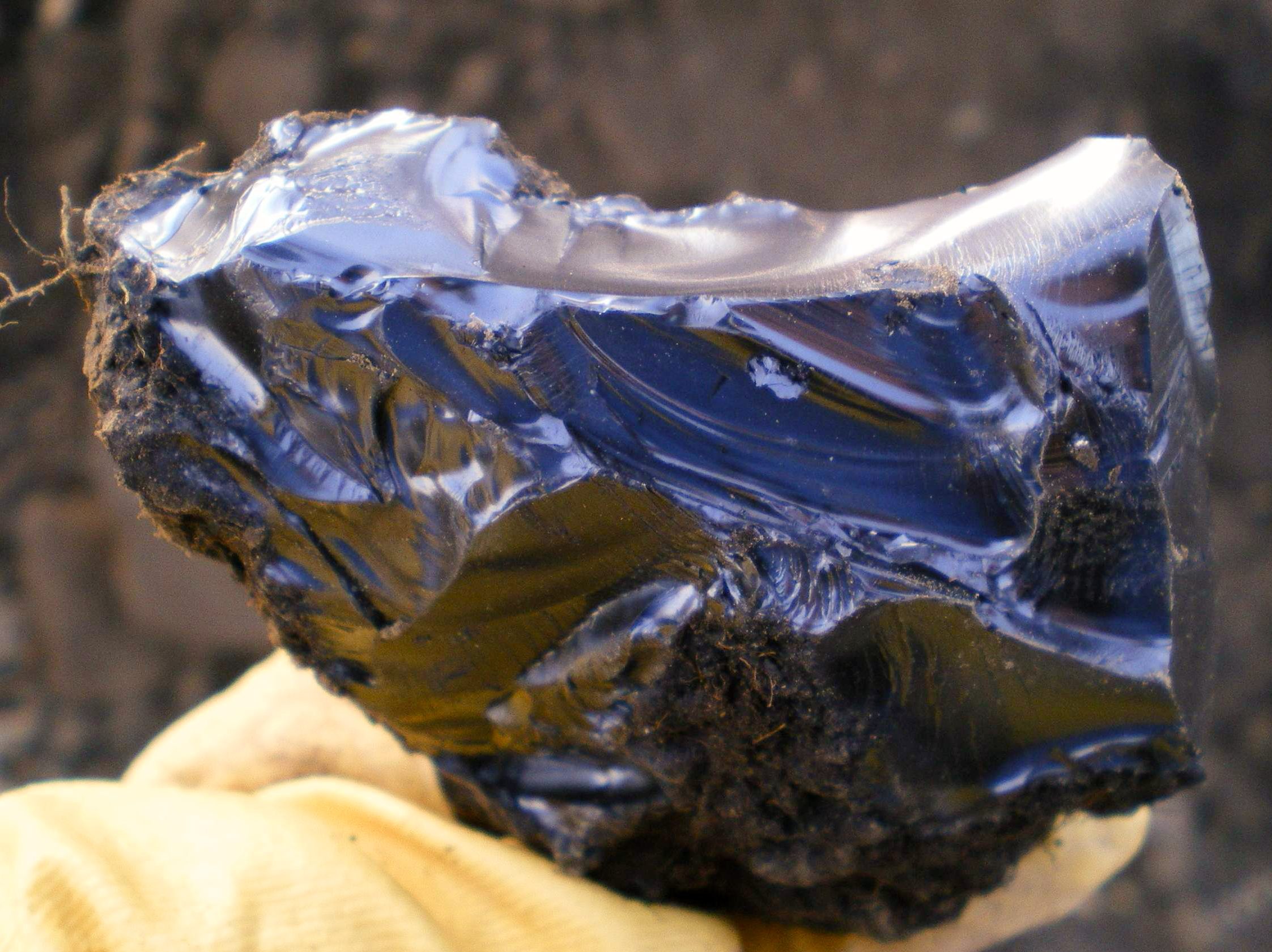
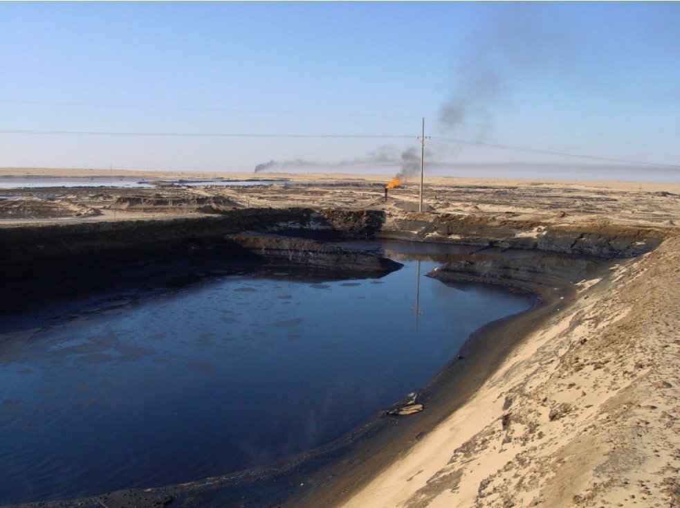
Contaminated Land and Liability Assessments
Evaluation of environmental liabilities and contamination risks at sites with known or suspected pollution, particularly in brownfield redevelopment. Our approach includes historical site analysis, conceptual site model (CSM) development, and due diligence assessments to clarify regulatory obligations and potential remediation costs
Hydrogeological and Subsurface Analysis
Characterization of aquifers and groundwater flow, pollutant pathways, and site geology using non-invasive geophysical tools, environmental drilling, and numerical modelling with direct relevance for permitting and resource protection
Vulnerability and Resilience Screening
Evaluation of site sensitivity to climate stressors, legacy pollution, and natural hazards, supporting the development of climate-adapted mitigation strategies
Permitting and Stakeholder Interface
Guidance through EIA screening/scoping, environmental documentation, and public/stakeholder engagement, ensuring transparency and regulatory compliance throughout the assessment process
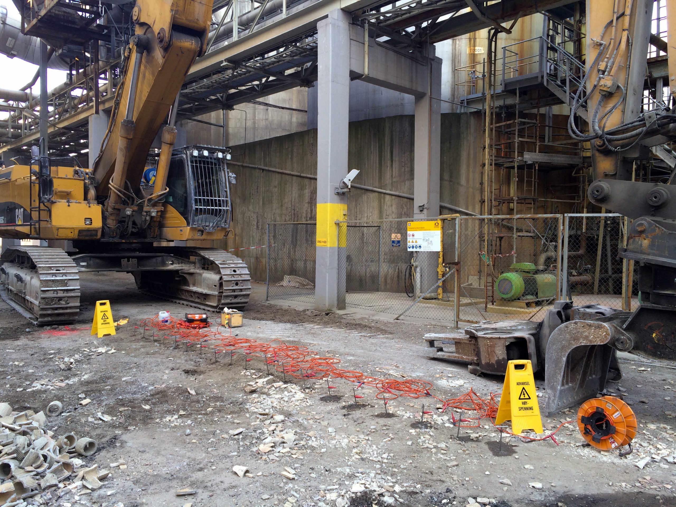
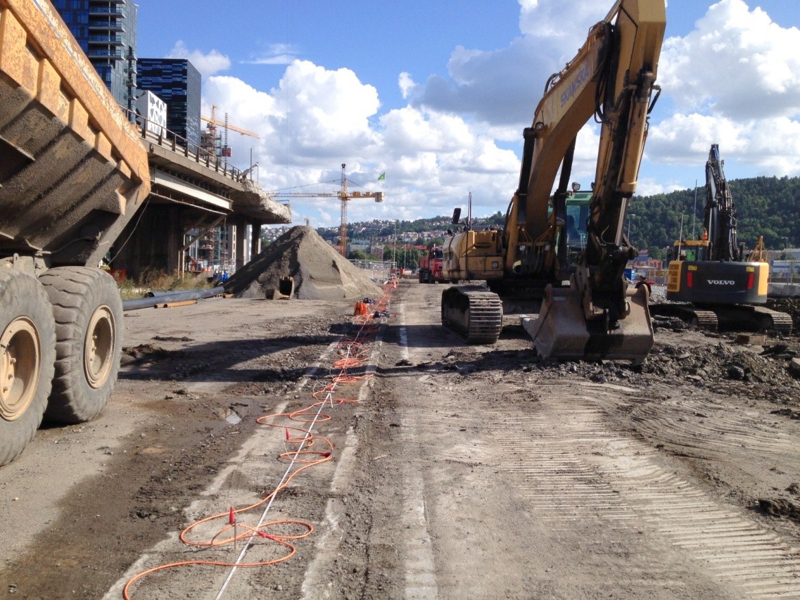
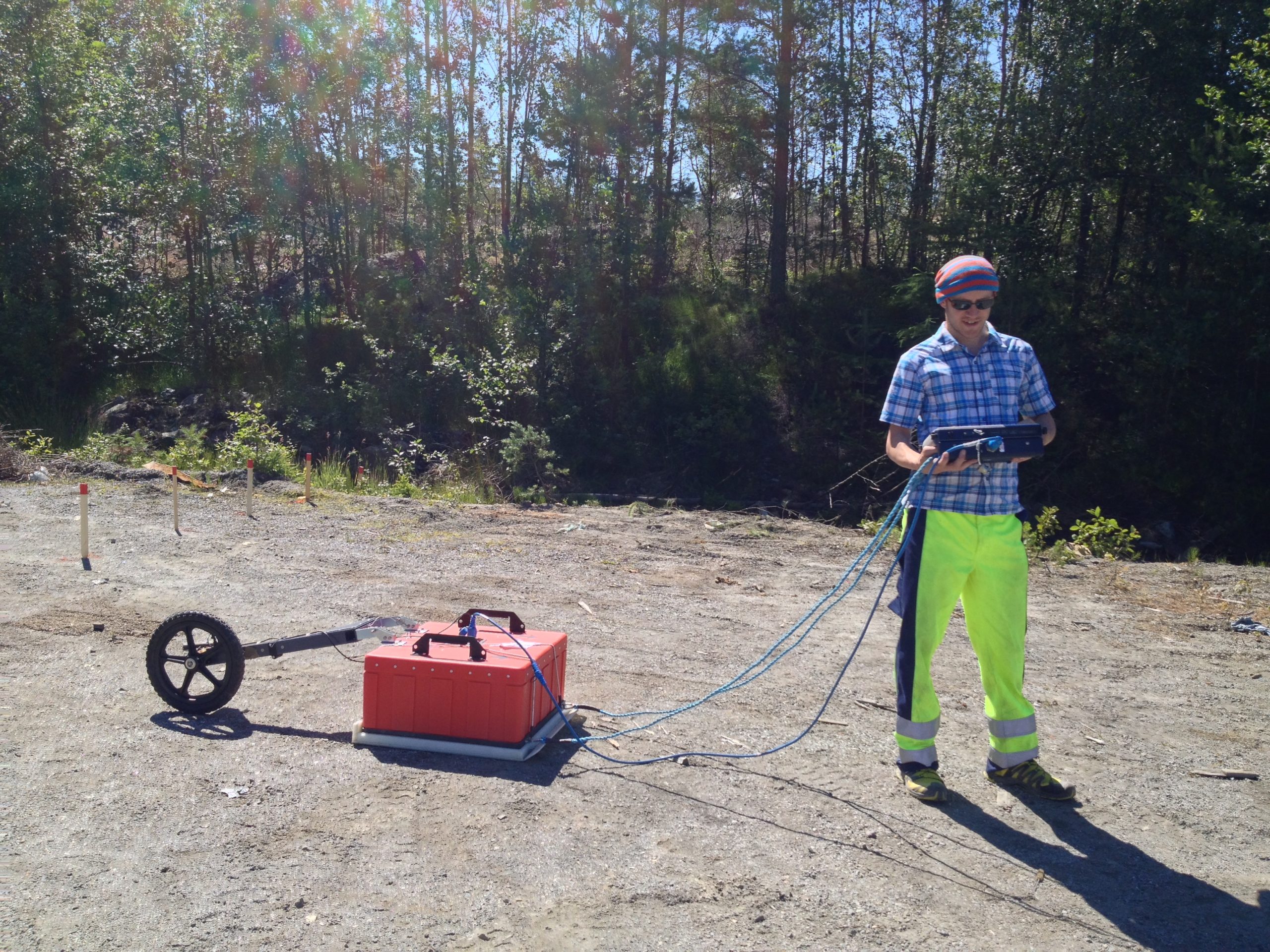
Geophysical investigations form a critical foundation for understanding subsurface conditions in environmentally sensitive and groundwater-relevant contexts. At SGE, geophysical data is not treated as stand-alone output but integrated into conceptual and numerical models that inform risk assessment, remediation planning, and permitting decisions.
SGE provides advanced environmental geophysics as a strategic tool for subsurface characterisation, risk assessment, and project planning. Our focus lies in the interpretation and integration of non-invasive geophysical data into geological and hydrogeological models that support decision-making in groundwater protection, contamination assessment, and land development. With long-term expertise up to PostDoc level in applied geophysics, we guide clients through the entire process, from method selection to model-based interpretation, ensuring that geophysical investigations translate into actionable insights.
Electrical Resistivity and Induced Polarisation (ERT–IP)
These methods provide detailed information on lithology, saturation, salinity, and potential contamination. They are particularly suited for mapping landfill boundaries, identifying clay-rich or water-saturated zones, and delineating contaminant plumes within groundwater-bearing strata.
Ground Penetrating Radar (GPR)
GPR uses high-frequency electromagnetic waves to detect shallow subsurface features such as buried structures, voids, tanks, or utility lines. It is especially effective in urban or brownfield environments where excavation is restricted and surface disturbance must be avoided.
Electromagnetic Induction (EMI)
EM techniques detect conductivity contrasts that reveal buried metal including underground storage, saline intrusion, or altered soil conditions. These methods are applied in Phase I and II assessments, UXO screening, and early-stage contamination mapping.
Micro-Gravity Surveys
Micro-gravity allows for the detection of density variations in the subsurface, such as voids, sinkholes, or undocumented tunnels. It is particularly valuable in urban areas or on legacy industrial sites where hidden subsurface risks may affect development feasibility.
From Contaminated Land to Regulatory Certainty
Ensure your site and investment strategy reflects EU and local environmental requirements, addressing groundwater risks, remediation needs, and reporting obligations under frameworks such as CSRD.
Copyright © 2024 SGE – Sustainable Geo | Imprint | Privacy Policy